|
Snapshot |
|
|---|---|
|
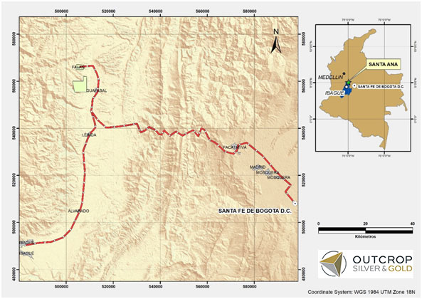
Location |
Falan, Tolima Department, Colombia |
|
Ownership |
100% owned |
|
Deposit Type |
Composite mesothermal – epithermal veins |
|
Primary Minerals |
Silver and Gold |
|
Stage |
Advanced Exploration |
Overview
The 100% owned Santa Ana project comprises over 27,697 hectares, 6,475 ha titled in the northern Tolima Department. The Santa Ana project is readily accessible by a combination of paved roads. Located approximately 15 km southeast of the town of Mariquita and 190 km from Bogota.
The project consists of six or more mapped or projected vein zones across a trend 12 kilometres wide and 30 kilometres long. Cumulatively, over 60 kilometres of mapped and inferred vein zones occur on the Santa Ana project.
History
The Santa Ana project covers a significant part of the Mariquita District where mining records date to at least 1585. Historically, the region is famous for producing native gold from unconsolidated sediments and underground mines. Following the Spanish Conquest, more formal mining commenced, with extraction of gold and more importantly, silver specifically around the town of Falan to the North.
The Mariquita District is the highest-grade primary silver district in Colombia, with historic silver grades reported to be among the highest in Latin America. The Frias Mine on the south-central part of the project, 12 kilometres south of the Royal Santa Ana Mines produced 7.8 million ounces of silver post-production in the Spanish colonial era at a recovered grade of 1.3 kg Ag/t. The Frias Mine is considered an analogue to the Outcrops recent discoveries.
Geology
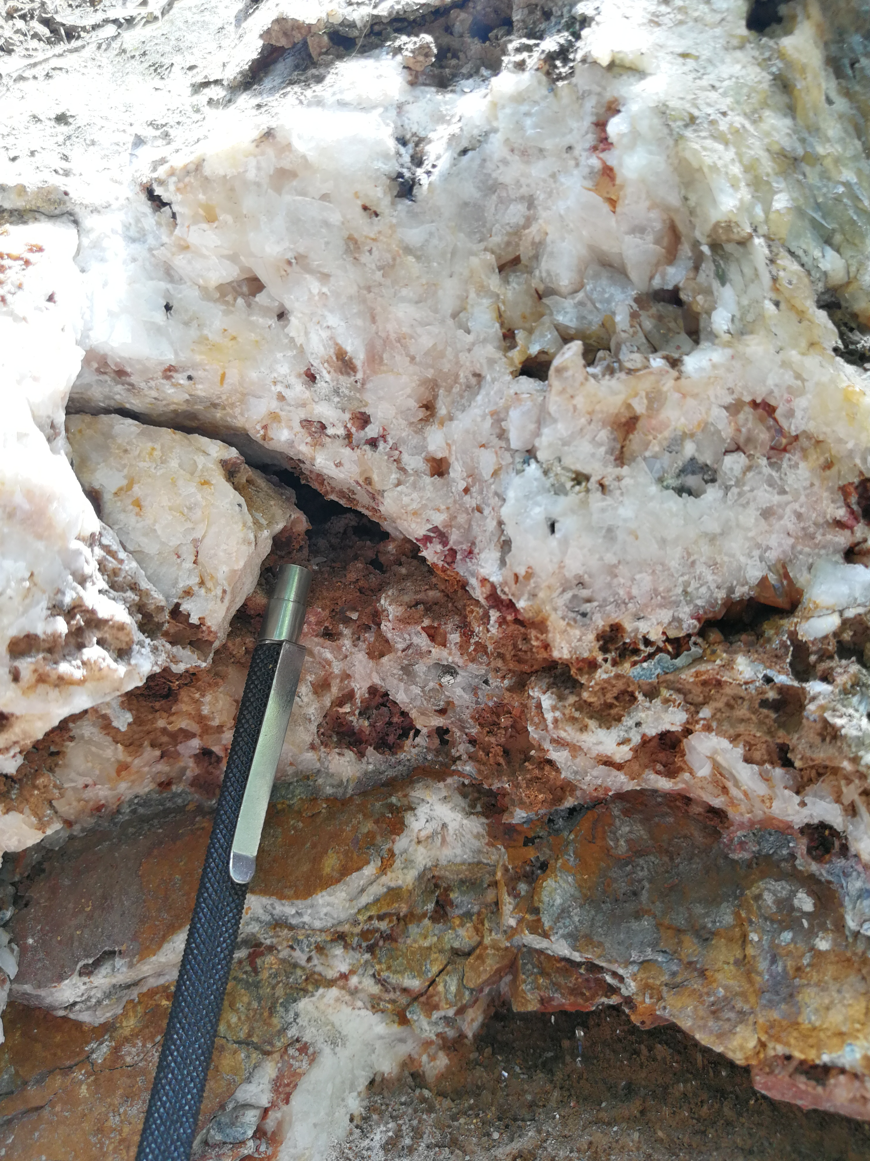
Quartz veins with variable amounts of carbonates containing sphalerite, galena, pyrite and silver sulfosalts conform the mineral deposits of Santa Ana. The veins dip either at low or high angle and have predominant strikes of NNE-SSW, NE-SW and NW-SE. Known structures can run for more than 2 km and host high-grade silver-gold shoots with some credits of lead and zinc. The host lithology is competent green or black schists of the Cajamarca Formation; the same metamorphic belt that hosts porphyry mineralization at La Colosa approximately 80 km SSW.
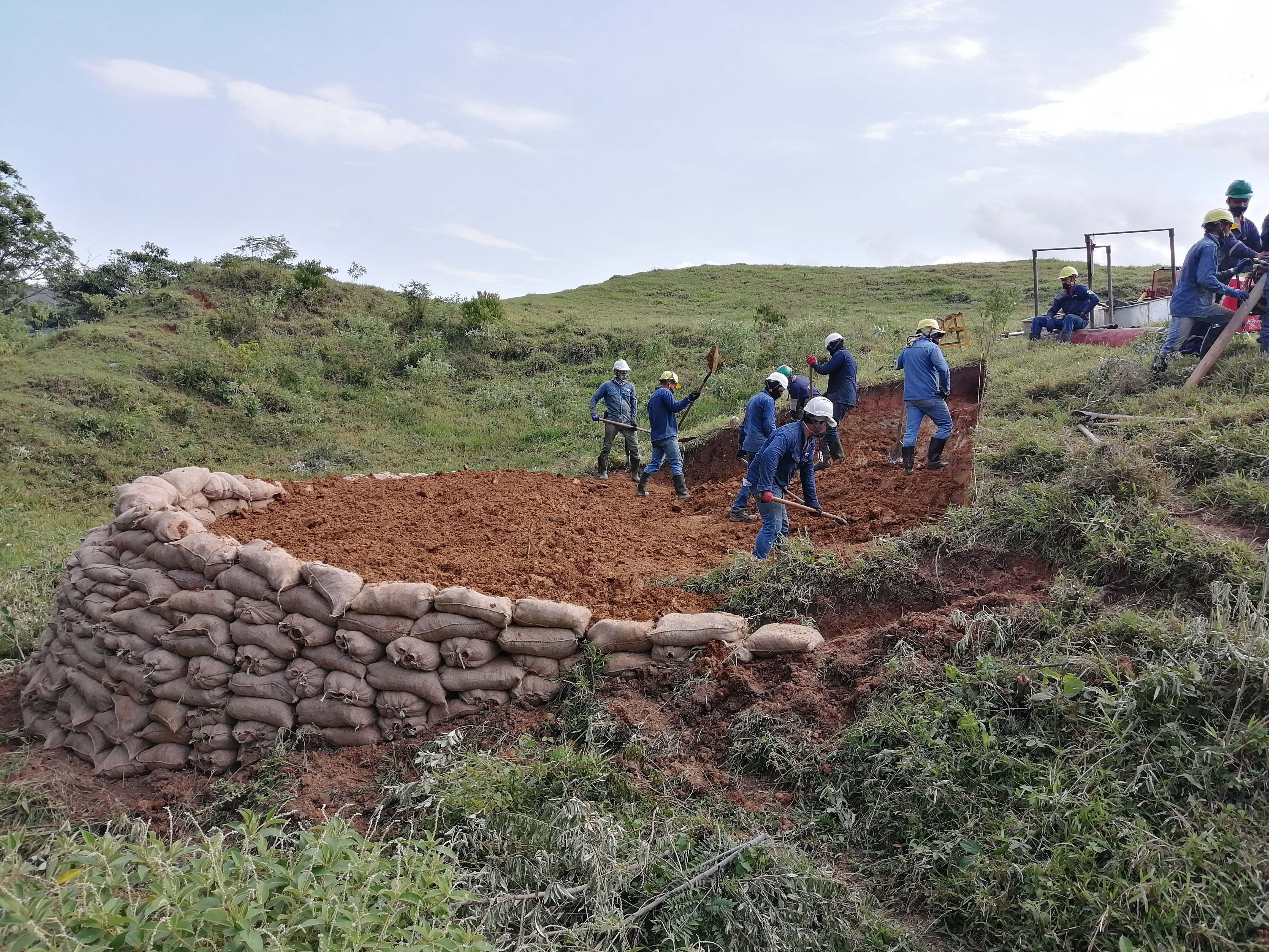
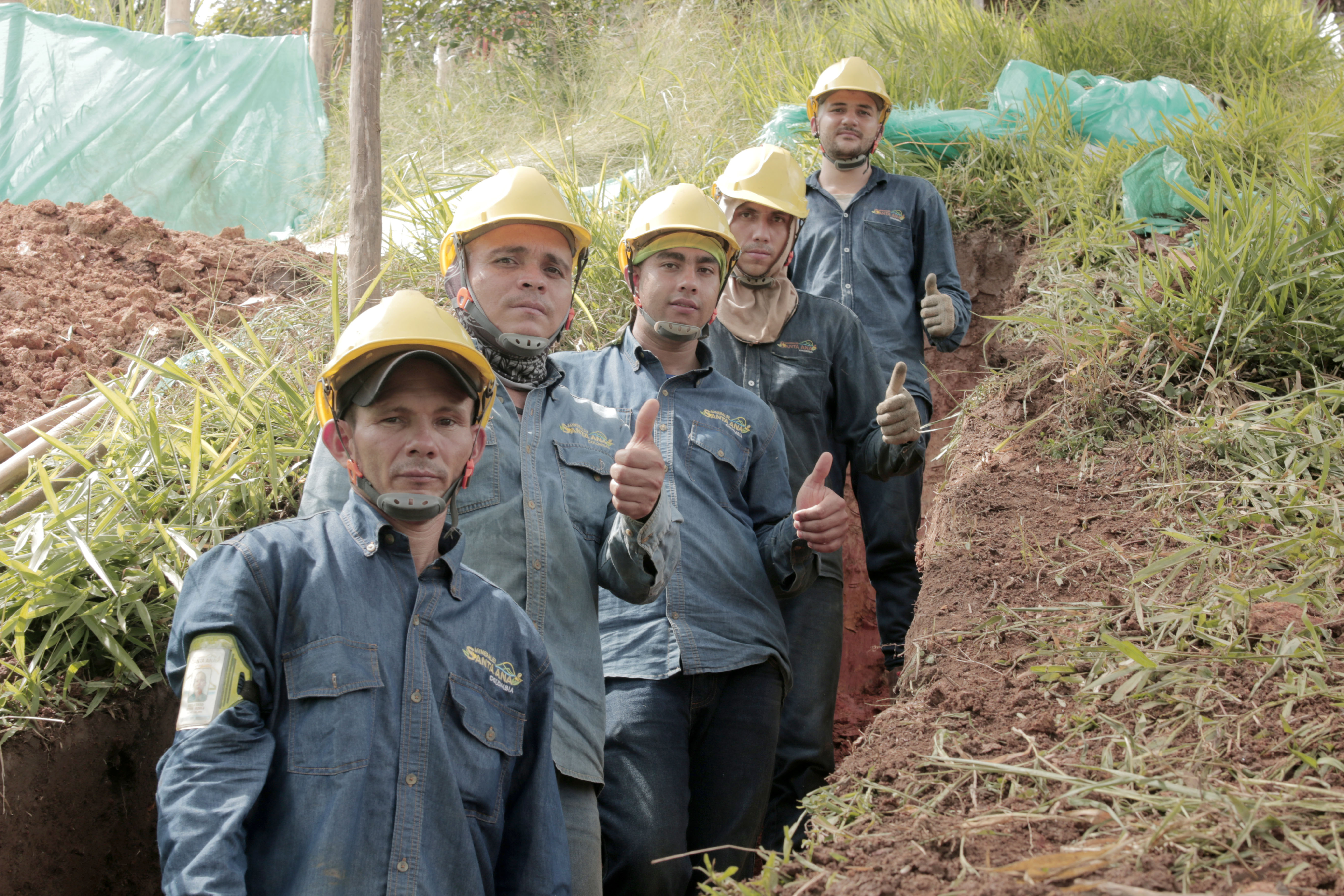
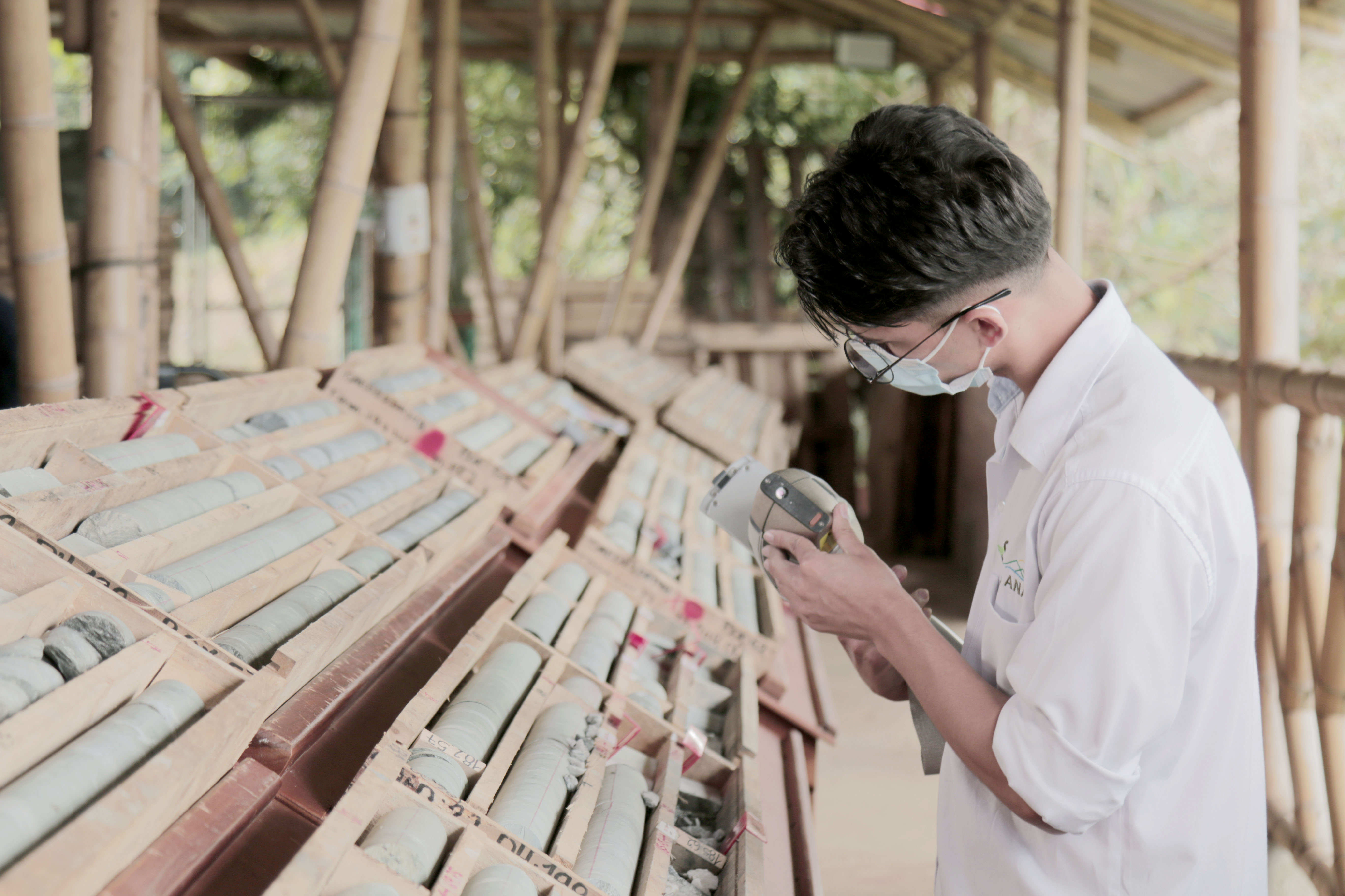
Exploration
Outcrop has conducted exploration drilling on approximately 17% of its titled surface, completing more than 330 diamond drill holes that have led to the discovery and mineral resource definition in seven mineralized veins within 3.7 km of the historic Santa Ana mines vein system. Regional exploration work has led to the definition of several additional drilling targets, with surface samples showing up to 4.5 and 9.7 kg silver grades.
Drilling is currently ongoing. For more details, see the Corporate Presentation from April 2024.
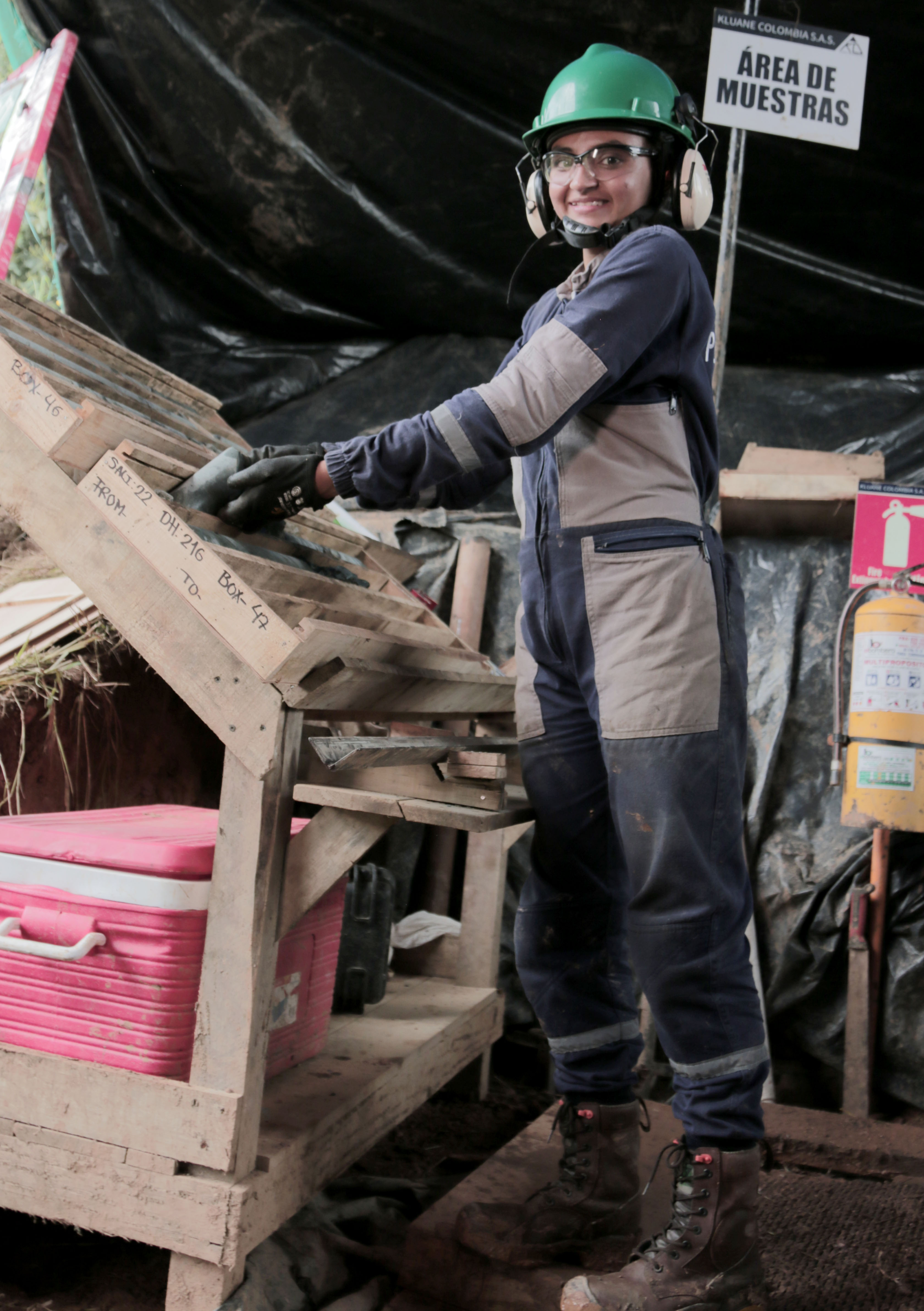
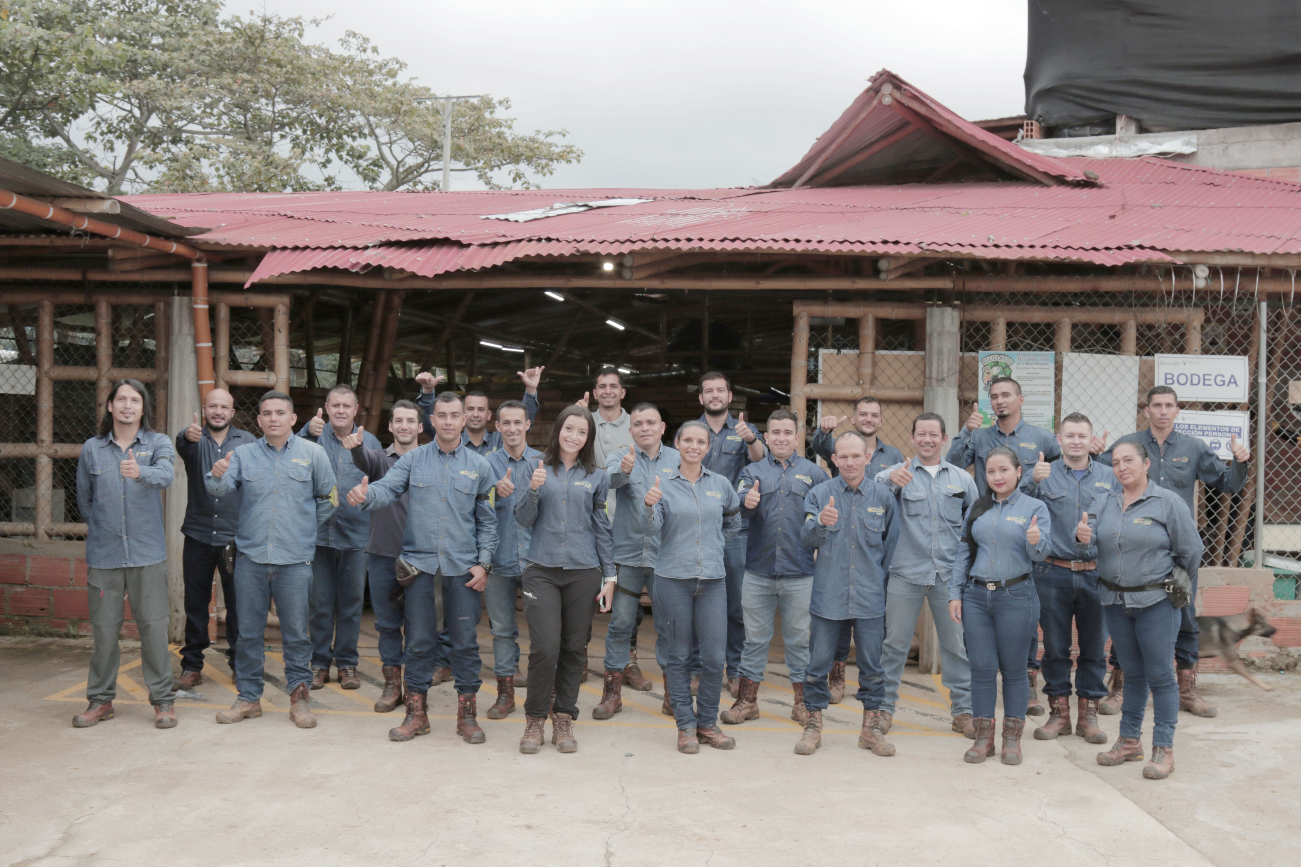
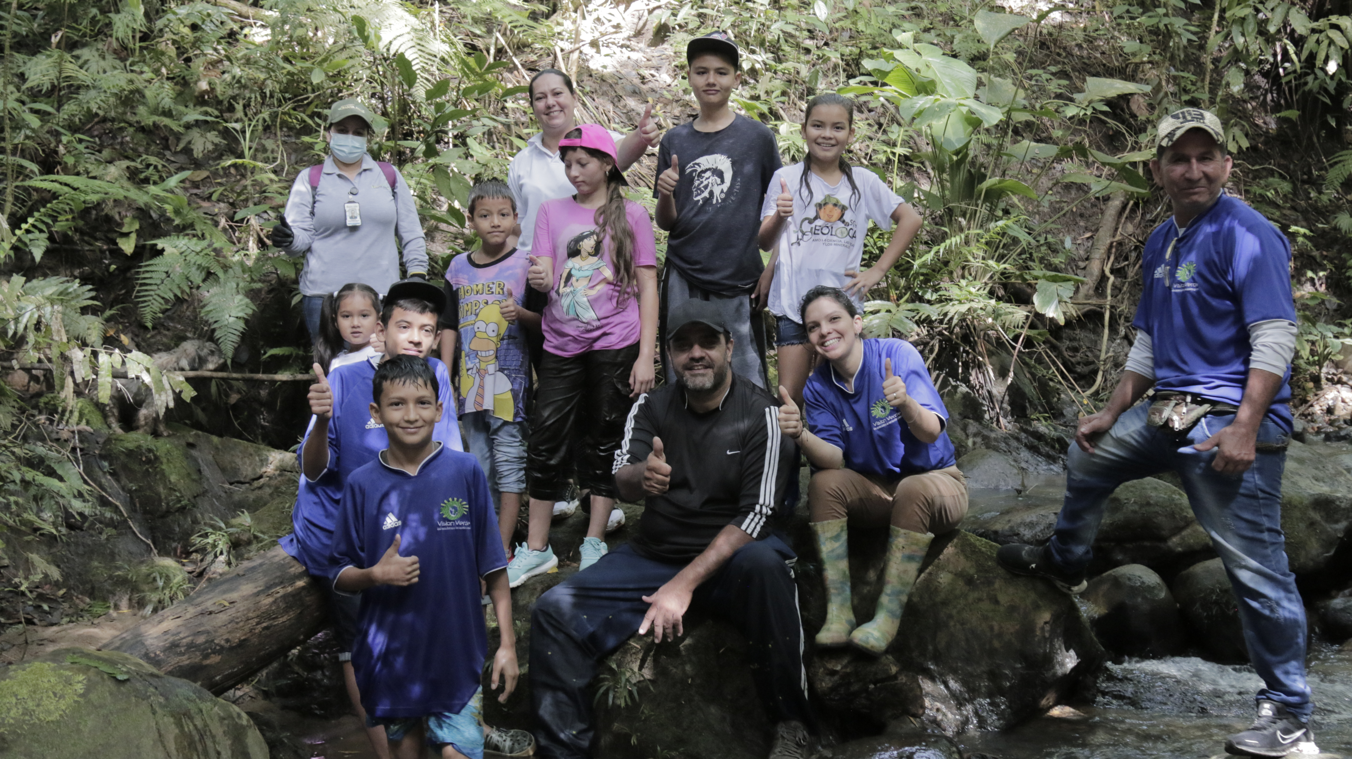
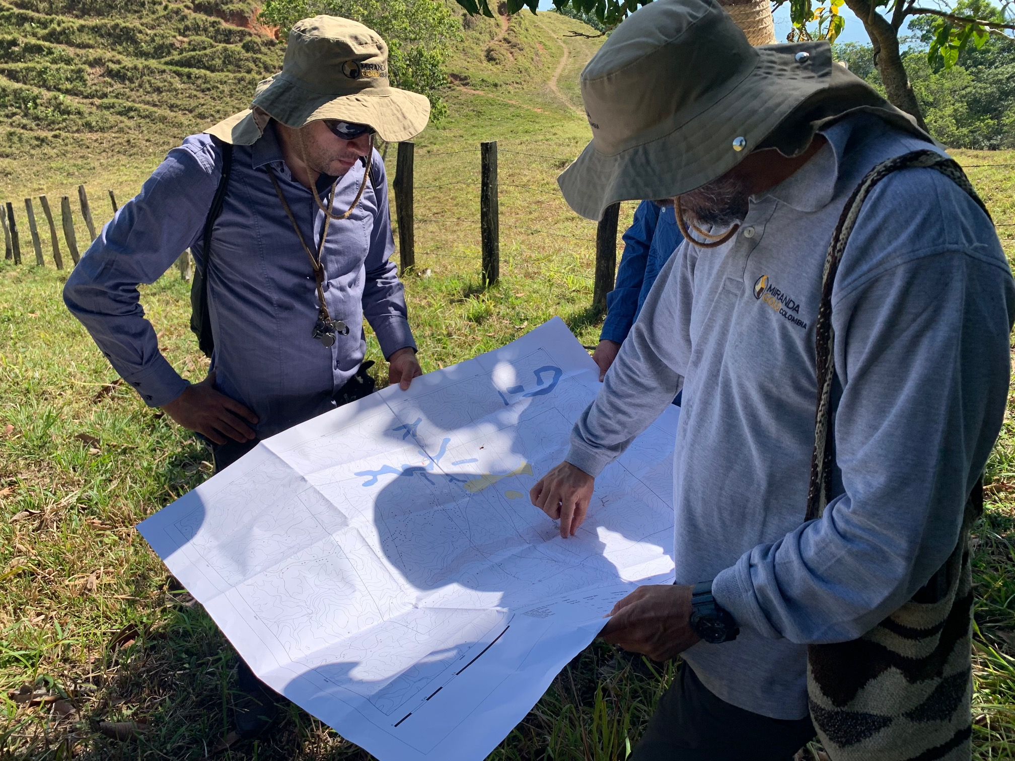
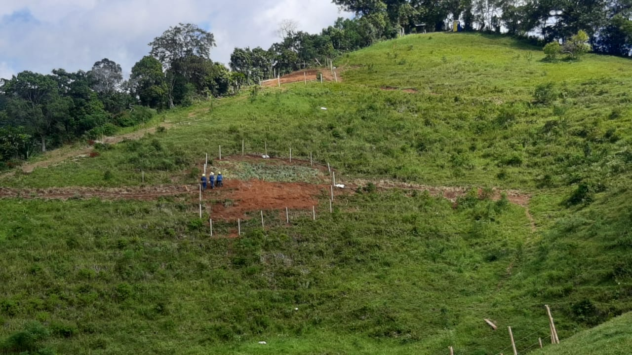
Project Maps and Photos